
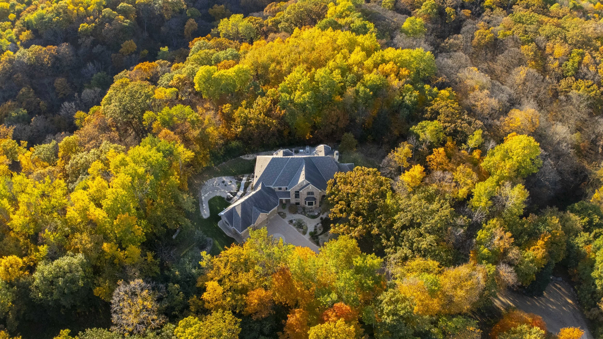
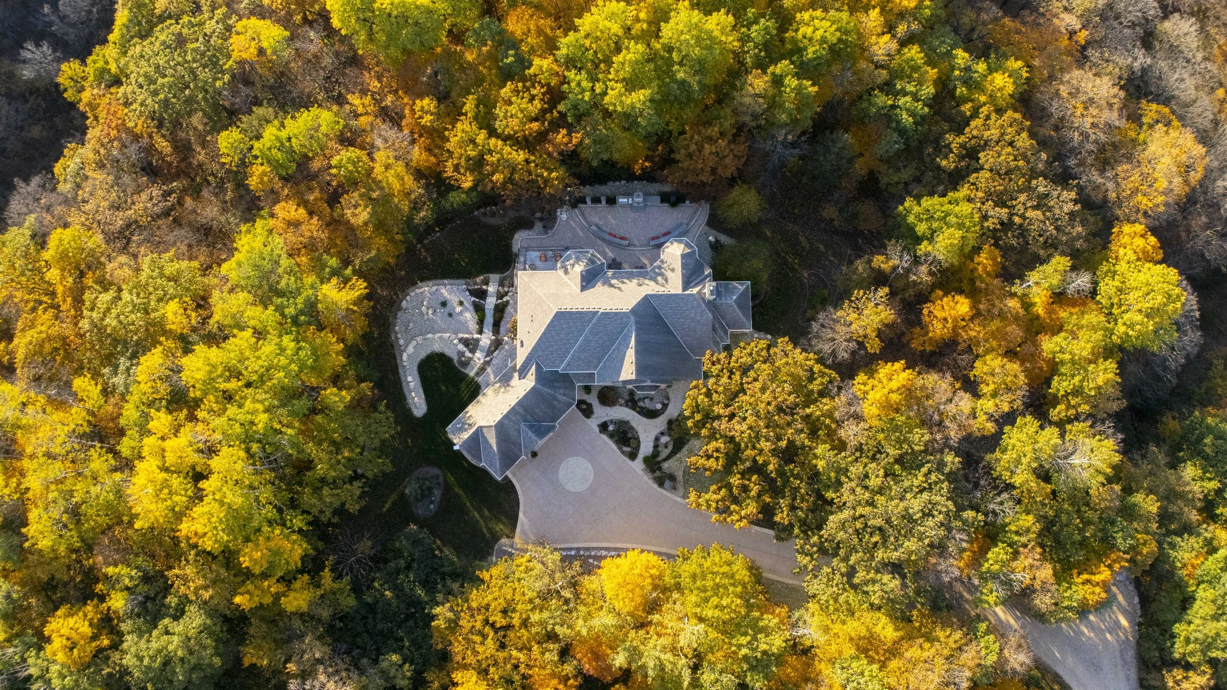
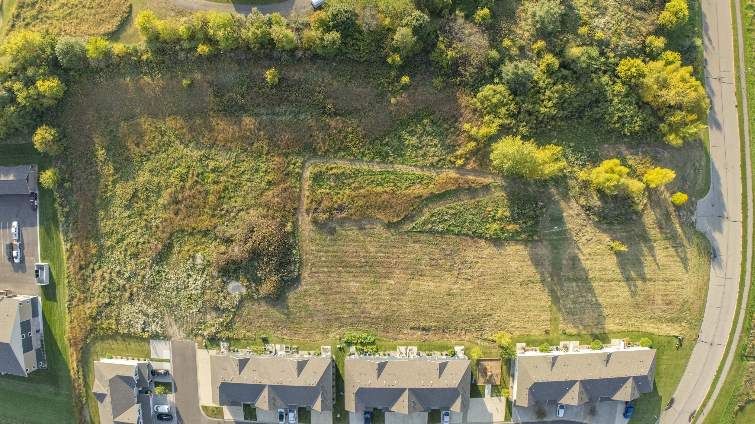
Capture the full property from an elevated perspective.
Drone Photography
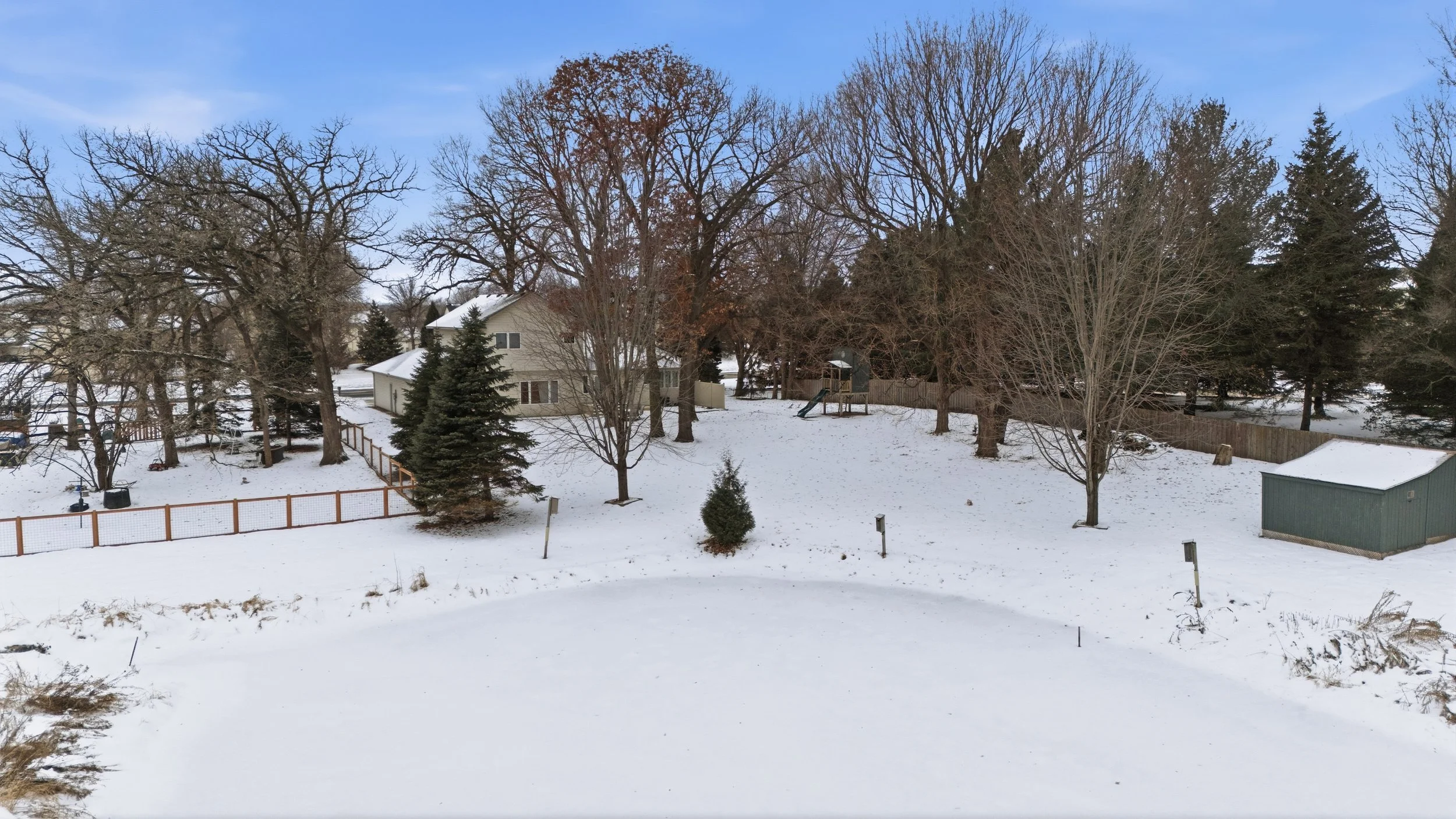
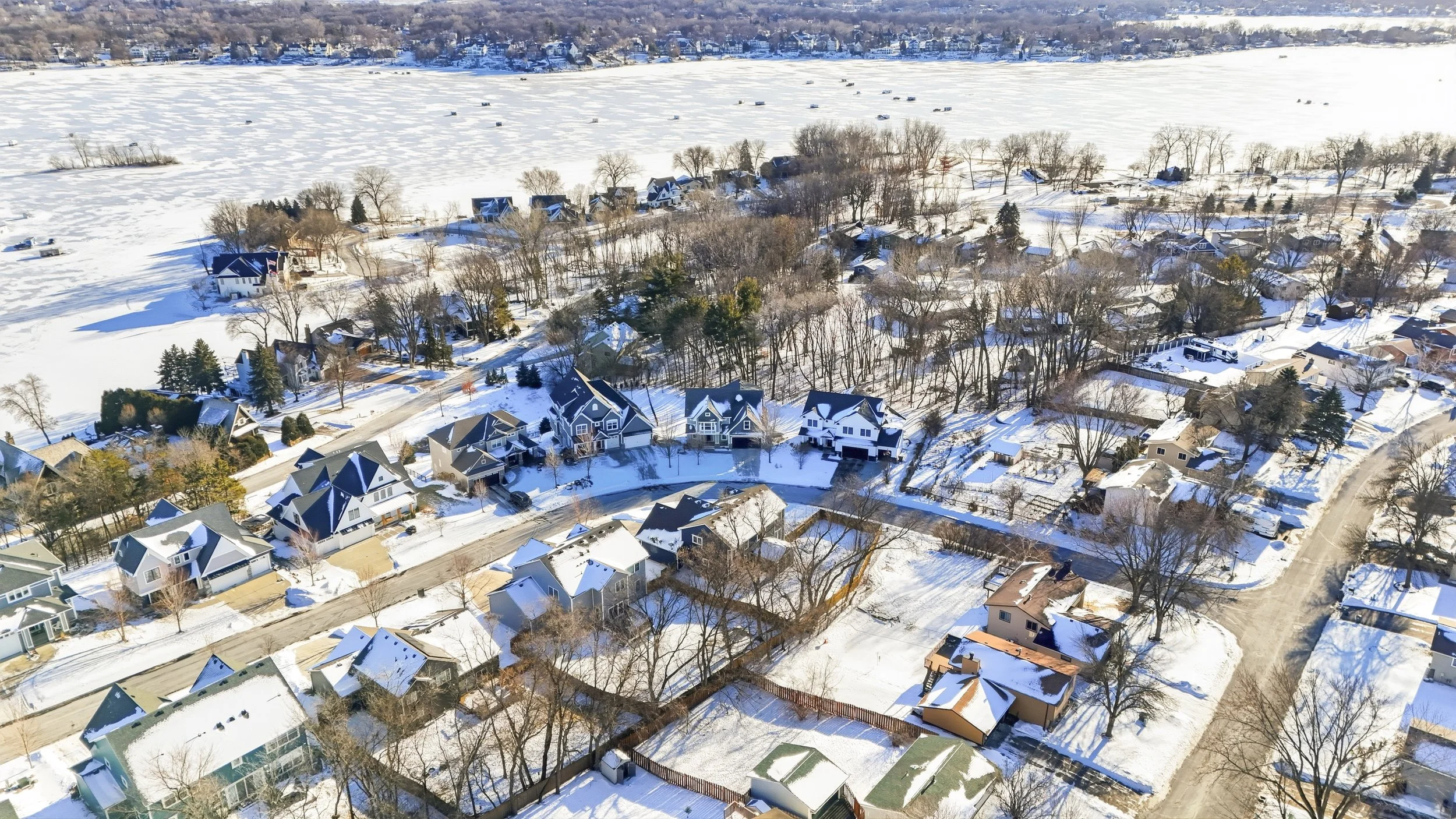
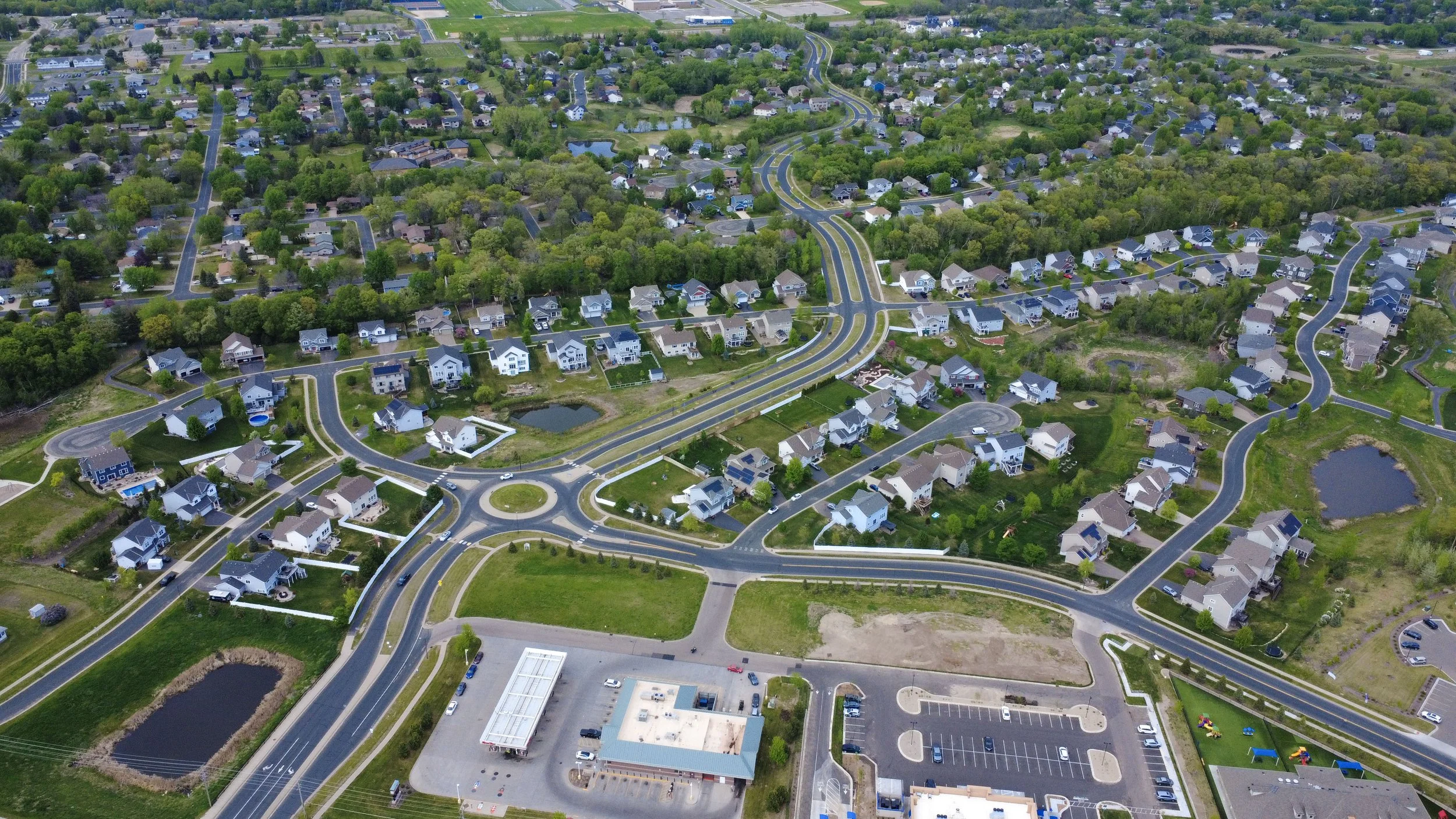
Professional drone photography captures the property’s surroundings, lot size, nearby amenities, and neighborhood from a unique perspective. These aerial visuals boost your listing presentation online.
Why Does Drone
Photography Matter?
What’s included with
Drone Photography

Available as a standalone service or included with select packages.
Add-On or Standalone
Balanced lighting and accurate colors in every image.
Professional HDR Editing
Consistent bright blue skies with fluffy clouds, regardless of weather.
Blue Sky Guarantee
Highlights nearby lakes, parks, schools, and surrounding amenities.
Property Surroundings
Professional photos delivered within 24 hours of the shoot.
24 Hour Delivery
Fully licensed and compliant for commercial drone operations.
FAA Part 107 Certified Pilot
Questions about Drone Photography?
-
Drone photography is available at a competitive flat rate price as a standalone service or included in select packages. View our pricing page for full details.
-
Yes! Drone photography is especially useful for acreage lots, new developments, and land listings where aerial perspective provides a complete view of the property. For pricing on land over 5 acres, view our pricing page.
-
Drone flights are subject to FAA airspace regulations and weather conditions. I check airspace restrictions before every shoot to ensure safe and legal operation. If you have questions about a specific property, feel free to contact me.
-
Drone flights depend on safe weather conditions. If necessary, we will reschedule to ensure the best possible results.
-
No. Permission from neighbors is not required for real estate drone photography. Flights are always conducted safely and respectfully.
-
Property lines can be added upon request to clearly outline lot boundaries and highlight land size.
-
Minor enhancements such as grass greening can be made during editing, but major seasonal changes are not modified. Scheduling during ideal conditions will produce the best results.